Admiralty Islands Lowland Rainforests
The ecoregion’s land area is provided in units of 1,000 hectares. The protection goal is the Global Safety Net (GSN1) area for the given ecoregion. The protection level indicates the percentage of the GSN goal that is currently protected on a scale of 0-10. N/A means data is not available at this time.
Bioregion: New Guinea & Surrounding Islands (AU13)
Realm: Australasia
Ecoregion Size (1000 ha):
211
Ecoregion ID:
135
Protection Goal:
93%
Protection Level:
0
States: Papua New Guinea
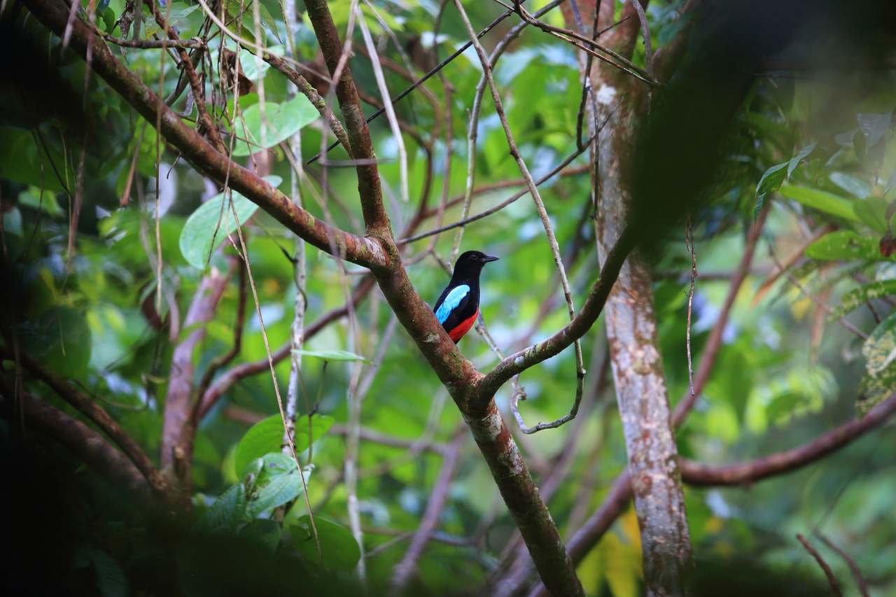
Owing to its unique biogeography, the remote but highly biodiverse Admiralty Islands Lowland Rain Forests ecoregion supports several endemic species. These include two elusive birds—superb pitta and Manus masked owl—as well as two small mammals—Manus Island mosaic-tailed rat and the recently described Rattus detenus, a half-kilogram, forest-dwelling rat so named in reference to its eons of isolated evolution on Manus Island and to its recent use to detain people seeking political or economic asylum in Australia.
Recent surveys by scientists continued to expand the list, especially with the islands’ little-known reptiles and amphibians. However, commercial logging and conversion of forests are currently placing immense pressure on the ecoregion’s wildlife, especially in the forest patches in the central region of Manus Island, the largest of the island group.

The flagship species of the Admiralty Islands Lowland Rainforests ecoregion is the superb pitta. Image credit: Shutterstock, FeatherCollector (Standard License)
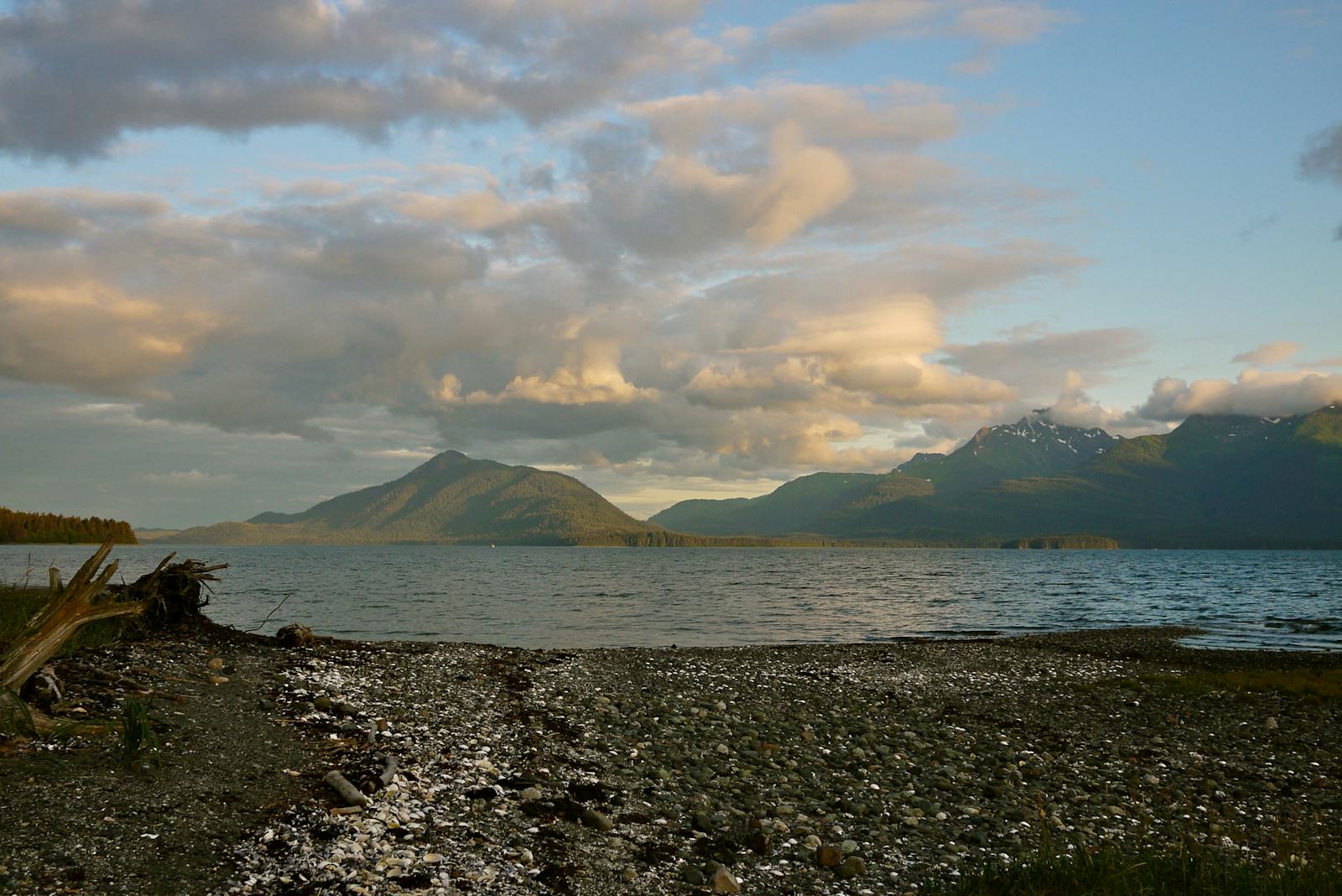
This group of remote oceanic islands that comprise the ecoregion are volcanic in origin, dating back to the late Miocene eight to ten million years ago. Thus, they have no history of land bridge connections to a major landmass, the nearest being the northern coast of New Guinea, which is 280 kilometers away. The highest point, Mt. Dremsel, is on Manus Island at 718 meters, with steep volcanic or uplifted coral limestone geological formations. The temperature varies little throughout the year, with daytime highs of 30–32˚C dipping to lows of 20–24˚C at night. The annual rainfall is about 3,400 millimeters, with most rainfall from June to August.
The vegetation is characterized by a shoreline herbaceous zone of creeping plants, such as the beach morning glory with bi-lobed leaves and large pink flowers, a shrub zone with Sararanga and Pandanus, and the forests dominated by trees such as Calophyllum, Barringtonia, and Terminalia. Helicia polyosmoides is a small tree endemic to Manus, but now threatened by commercial logging of the forests.
As with most oceanic islands, the fauna is dominated by smaller species, especially bats. Nineteen species of bats have been recorded from the islands, comprising of eight fruit-eating bats and eleven insectivorous bats. The fruit-eating, or frugivorous, bats belong to six genera, while the insectivorous bats belong to 8 different genera. Other mammals include two species of marsupials and four rodents. Six birds are endemic to the ecoregion. While the strikingly colorful superb pitta can be a flagship species for the forests on Manus Island, the endemic Manus fantail can play the same role for the smaller islands surrounding Manus.
Two large endemic geckos, the yellow and black bumblebee gecko and the ring-tailed gecko are also good indicators of forest degradation. The forest-dwelling endemic emerald green snail is collected to craft jewelry from its bright green shell, threatening this species to extinction; in fact, this is the first land snail to be listed in the IUCN Red List and CITES Appendix II.
Although the central region of Manus Island is still relatively well forested, proposed logging, mining, road development, and agro-forestry projects are recurring threat sources. The only protected area is the 58.5 square kilometers Ndrolowa Marine Managed Area on the eastern side of Manus. This reserve includes some of the coastal areas. The central forests have been recognized as a Key Biodiversity Area, along with East Manus, Ninigo, Rambutyo, Tong, and M’buke and Purdy islands around Manus.
Priority conservation actions for the next decade
- Formally recognize the ecological importance of the central forests of Manus and prioritize them for conservation.
- Develop community incentives and benefits from conservation to elicit community stewardship.
- Produce and implement conservation action plans for endangered endemic species such as the emerald green snail to monitor and minimize their threats.
-
-
- Whitmore N. (editor) 2015. A rapid biodiversity survey of Papua New Guinea’s Manus and Mussau Islands. Wildlife Conservation Society Papua New Guinea Program. Goroka, PNG.
- Wikramanayake, E, E. Dinerstein, et al. 2002. Terrestrial Ecoregions of the Indo-Pacific: A Conservation Assessment. Island Press.
- Papua New Guinea’s Fourth National Report to the Convention on Biological Diversity. UNEP GEF
-


