
Cordillera Central Páramo
The ecoregion’s land area is provided in units of 1,000 hectares. The protection goal is the Global Safety Net (GSN1) area for the given ecoregion. The protection level indicates the percentage of the GSN goal that is currently protected on a scale of 0-10. N/A means data is not available at this time.
Bioregion: Andean Mountain Forests & Valleys (NT11)
Realm: Southern America
Ecoregion Size (1000 ha):
1,220
Ecoregion ID:
590
Protection Goal:
25%
Protection Level:
5
States: Peru, Ecuador
Mountain tapir are restricted to the high Andes, completely adapted to live in the cold high paramo grasslands and shrublands. Tapir themselves are unique with the large body size and slight trunk, and the mountain tapir more so as it also possesses a thick coat of fur and a strikingly white lips over a large body. Tapir occur in groups and will make tunnels through thick vegetation as they move among the Espeletia plants and grasses to the cover of small forest patches in the seams of the mountain.
Mountain tapir use their small trunk to remove leaves efficiently from bromeliads, ferns, and other plants. Mountain tapir are emblematic of high Andean ecosystems and are indicators of habitat quality and health.
.jpg)
The flagship species of the Cordillera Central Páramo ecoregion is the mountain tapir. Image credit: Creative Commons
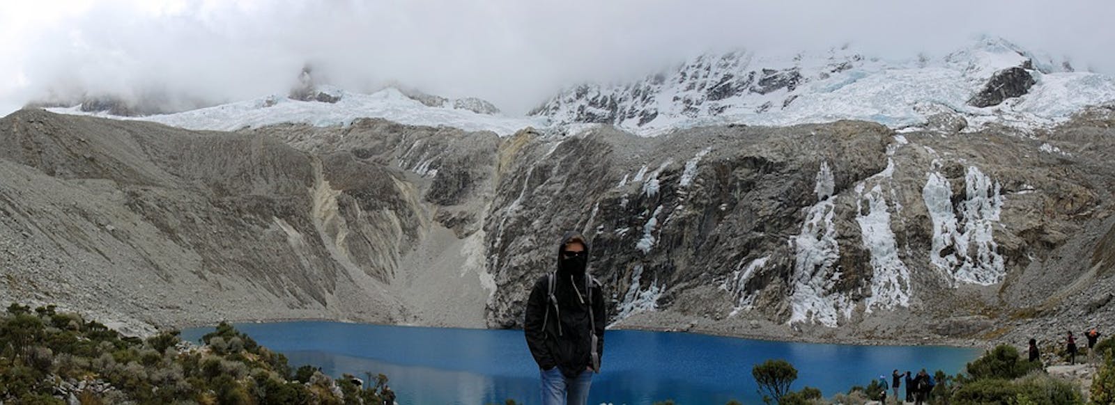
Essential for the regional water cycle, this ecoregion is the origin of many streams running down the Pacific and Atlantic slopes. These headwaters form the rivers on which the local human populations depend to meet their consumption and agricultural needs. The Cordillera Central Páramo extends in proximity to the Marañon Valley, from southernmost Ecuador into northwestern Peru in three distinct oblong patches. Like other páramo ecosystems, it occurs roughly from the treeline, at approximately 3,200 m, to permanent snow line at approximately 4,500 m.
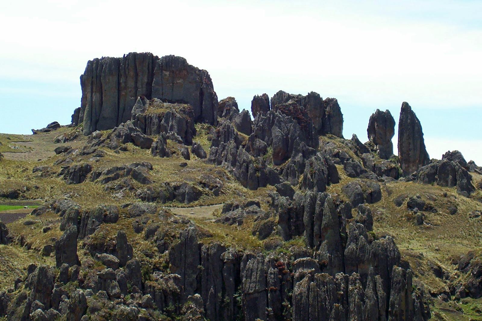
The climate is cold and wet, and temperatures can drop below 0ºC. A typical landscape is treeless vegetation dominated by bunchgrass and cushion plants, which occur with desert like shrub, sedges, and often with an underlying mat of lichens and moss. This shrubby alpine grassland is bordered at lower elevations by montane cloud forest and Polylepis transitional forest.
The scrublands and grasslands that make up this ecoregion are unique and correspond to the southern limit of the distribution of this habitat type in the Neotropics.
The landscape is wet montane, with dwarf trees, and the vegetation is characterized by grasses of the genera Calamagrostis, Agrostis, Hypericum, and genera of trees such as Polylepis and Escalonia. The isolation of the treeline zone of the continental divide has allowed for a singular diversity of species and great endemism. It is the meeting place of fauna from Amazonian origin with influences from the tropical Andes and northern desert fauna.
Notable among fauna are the Andean tapir, red brocket deer, spectacled bear, pudú, and a species of small-eared shrew. Species with restricted distribution include lizards, frogs (helmeted marsupial frog and Parker’s Andes frog) and butterflies (Batos spp., Dismorphia spp.).
Relevant endemic birds in the high (páramo) habitat would be neblina metaltail and mouse-colored thistletail. Finally, notable species of flora include the Quinine and Schmardaea microphylla.
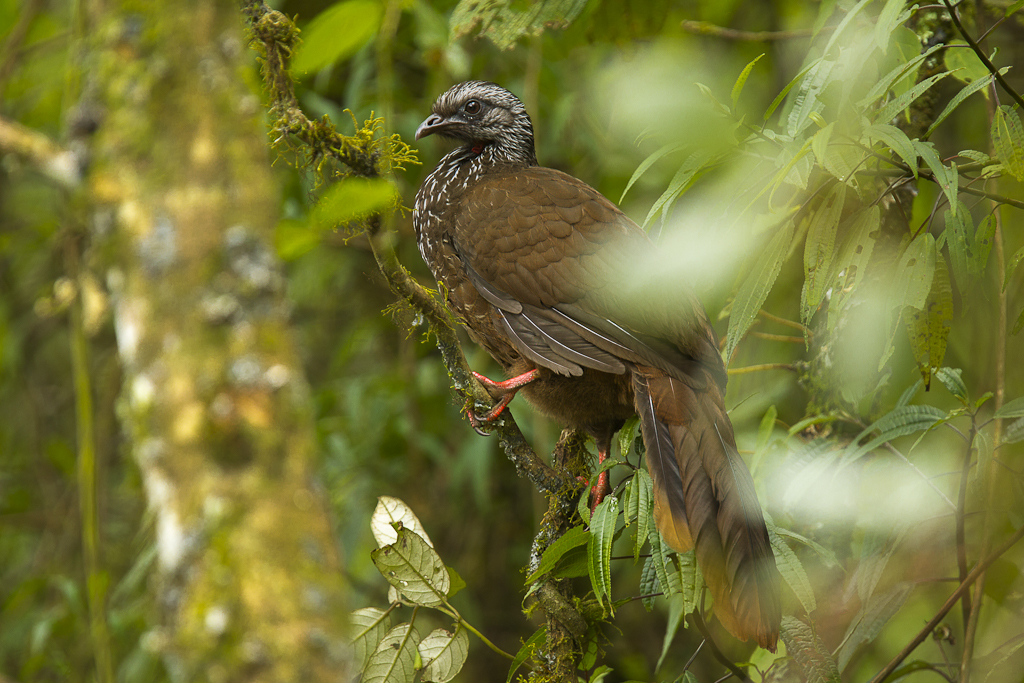
Bearded Guan. Image credit: Francesco Veronesi, Creative Commons
Natural habitat is virtually non-existing today in much of this ecoregion. Long occupied by humans, this high-altitude ecoregion has a long history of cultivation and fallow land management—thus small relicts of native habitat persist in steep areas and where agriculture has been abandoned—although increasingly invasive plants are finding their way into the region.
Expansion of human population and subsequent increase in agriculture and mining activities are destroying large areas of páramo. The soils of the prairie grasses are fertile but highly susceptible to erosion and the rivers are sometimes contaminated by mining waste. Highways and constructions cross the plateau and break up the connectivity of ecoregion.
Although portions of the ecoregion to the north are protected in Podocarpus National Park, and further south in Huancabamba National Park, encroachment is spreading inwards quickly.
The priority conservation actions for the next decade are to: 1) mitigate for growing human impact of roadways and cities and allow for better connected wildlife corridors; 2) reduce soil erosion in imperative areas by initiating programs to encourage environmentally friendly agriculture; 3) encourage reforestation and restoration of the paramo, especially around human settlements.
Citations
1. Salcedo, J.C.R. 2018. Eastern South America: Ecuador and northern Peru https://www.worldwildlife.org/ecoregions/nt1004 Accessed October 9, 2018
2. Lizcano, D.J., Amanzo, J., Castellanos, A., Tapia, A. & Lopez-Malaga, C.M. 2016. Tapirus pinchaque. The IUCN Red List of Threatened Species 2016: e.T21473A45173922. http://dx.doi.org/10.2305/IUCN.UK.2016-1.RLTS.T21473A45173922.en. Downloaded on 16 October 2018.
3. Bibby C, J. ; Collar , J. and Crosby, M. 1992. Putting Biodiversity on the map: Priority areas for global conservation. United Kingdom.

Subscribe to receive monthly updates on climate solutions, environmental heroes, and the profound beauty and wonder of our shared planet Earth.